Château de Montalet
Presentation
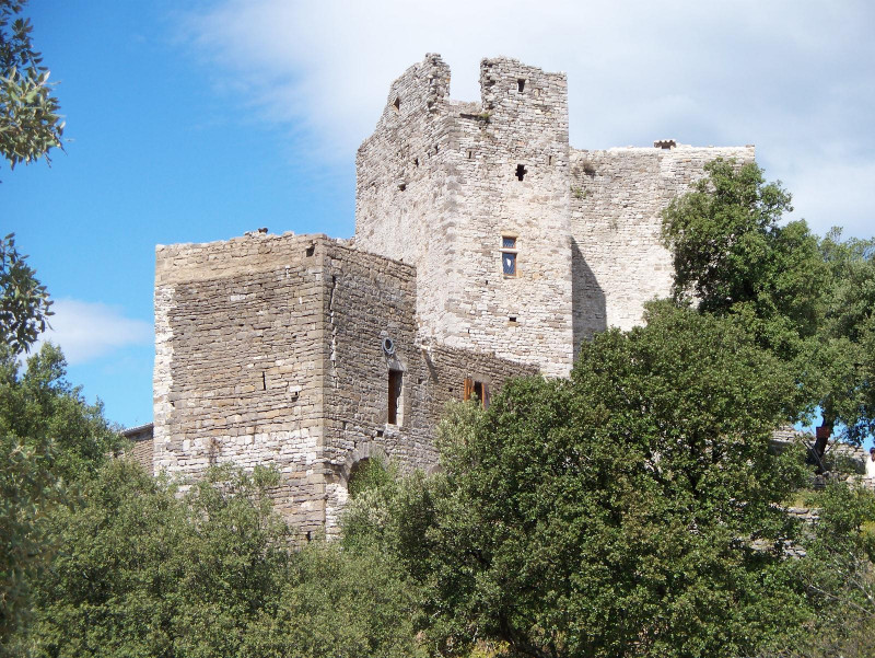
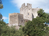
The castle of Montalet is the most imposing seigniorial complex in the upper Cèze valley. At an altitude of 275 metres, with a surface area of 1 hectare, it observes several traffic routes known since Antiquity.
In the 12th century, the castle of Montalet and its outbuildings were a "bargaining chip" between the bishop of Uzès and the lord of Anduze. In the 12th century, the site was taken over by the army of Amaury de Montfort.
Montalet Castle was equipped with a huge cistern in the central courtyard, fed by all the rainwater that flowed towards it, which made it possible to hold out for a long time against the besiegers.
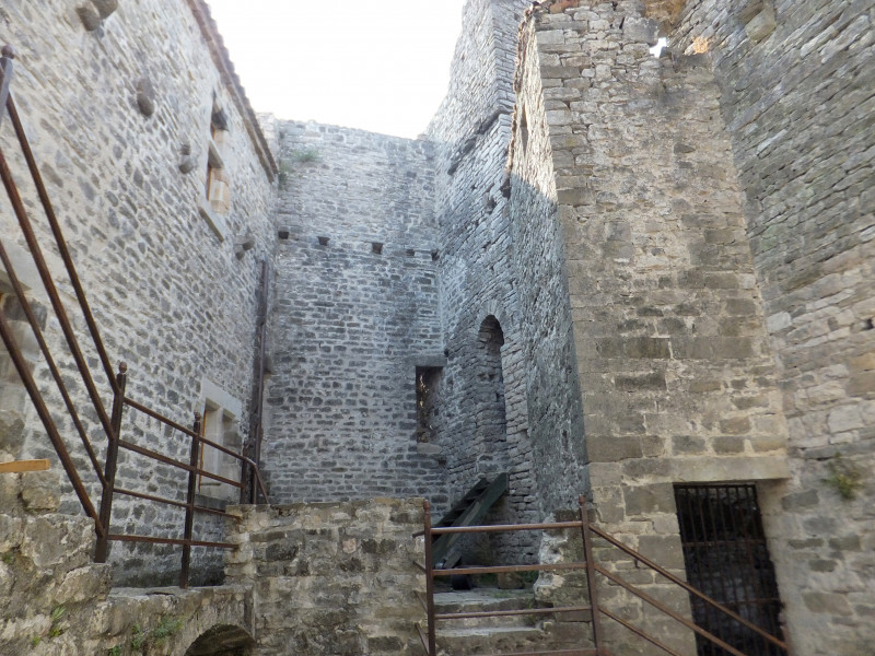
Despite the reorganisation of the fortress in the 15th century, the castle still has a number of architectural features: round arched doors, cross vaults, mullioned bays, loopholes, fireplaces, corbelled latrines, and internal staircases leading to the covered way. The south-western façade had an entrance door surmounted by a bretèche which collapsed in 1980.
Medieval festivities at the beggining of August.
Opening day(s)
All year long 2026
Thursday, Sunday
Sunday from 11am to 5pm Thursday from 8am to 4pm
Tarifs
Contact
Château de Montalet
Château de Montalet
30410
Molières-sur-Cèze
Mob : +33 6 81 18 27 73
Destination
Château de Montalet
Château de Montalet
30410
Molières-sur-Cèze
GPS coordinates
Latitude : 44.266084
Longitude : 4.172252


